Analog Travel: A Practical Guide to Exploring With Less Screen Time
A paper map, a small notebook and a phone with a clear job. Here is how to plan a city day with fewer screen checks and room for discoveries.
Travel with paper
Articles and audio are currently available in English only.
Listen to this article
Press Listen to play the article.
Download MP3 · 5.7 MBYou come out of a station, open a map and find the blue dot. A message arrives. You answer it, check the weather and look up somewhere for lunch. By the time you put the phone away, you have barely looked at the street. Analog travel starts with a modest adjustment: put some of the day on paper, so reaching for a screen becomes a choice rather than the next step in every decision.
What analog travel actually means
For this guide, analog travel means using physical things—a map, a printed guide, a notebook—to plan, navigate and remember parts of a trip. It is a way of arranging a day, rather than a rule about which devices belong in your bag. You can follow a paper map between stops and still use your phone to translate a menu or find a working lift.
Start with one afternoon. Choose a place you want to visit, get the practical details ready and leave a little of the surrounding time unassigned. The useful question is: which information would you like to have in your hand, and which information needs to stay current?
Choose a paper map for the job
A city map gives you the wider picture: the river, the railway, the neighborhoods and how they connect. A street map helps with the decisions between your station and a doorway. A destination guide adds context for the place you are going to see. Those are different jobs; a beautiful overview may be too small to navigate with, and a destination sheet may not cover the walk back to your hotel.
Start with the official tourism or transport authority. GO TOKYO, for example, provides downloadable railway and subway information and walking-course maps. Before printing, check the area covered, the date and whether you can read the street names at the size you will carry. Keep the legend and map scale visible.
Mark your arrival point, the actual visitor entrance and a way back. Then look for the decisions between them: a bridge, a crossing or a turn beside a named landmark. A short route with two or three recognizable decisions is a useful first experiment. Stop out of the flow of people when you need to unfold the map.
Give the day one anchor and an optional ending
Choose the visit you would most regret missing. Check the venue’s current opening information, booking requirements and entrance instructions, then put any fixed reservation time on paper. Add the local-language name and address; they can be useful when asking someone for help.
Build the rest around that visit. Find a possible place to pause and one nearby area you might explore afterwards. Keep the final stop optional. A museum followed by lunch and a short walk is a complete day if that is the pace you want.
Draw the connections before filling the gaps. Two places that look close on a map can be separated by tracks, water, stairs or a gate on the far side of a site. Check the pedestrian route and any accessibility needs against current operator information. A printed walking approach is not a guarantee of step-free access.
Keep the phone, but give it specific jobs
Before setting out, decide what the phone is there to do: hold a ticket, translate, contact a companion, check a disruption or help when the route stops making sense. Keep the functions you depend on available. Silence optional alerts and put the screen away after finishing the task.
There is a modest evidence-based reason to reduce those interruptions. A 2015 experiment by Stothart and colleagues found that phone notifications disrupted performance on an attention-demanding task even when participants did not interact with the device. It was a controlled task, not a holiday study. It does not prove that carrying paper improves wellbeing or makes a trip more memorable.
Treat offline tools just as carefully. Google documents that its offline maps do not provide walking, cycling or public-transport directions. A downloaded city area therefore does not guarantee the particular directions you need. Test your chosen app and saved files before leaving a connection, and check whether tickets require a live app or another accepted format.
Carry a small kit you can actually reach
Use what you already own: the day’s map or guide, a few notebook pages, a working pen and a sleeve or envelope if rain is likely. Put them where you can reach them without unpacking your bag. A separate folder of reservations is useful only if you can find the right page when you need it.
Write down your accommodation address and a return option. Keep sensitive booking codes and identity information separate from pages you might photograph or show someone. Check whether a printed confirmation is accepted before relying on it as a ticket.
If you are taking a Paper City Guide, choose the destination and language first, save the PDF and follow its printing and folding instructions. Inspect one printed copy for readable text and unclipped edges. Its destination information can sit alongside a wider city map. QR links still need a connected device, and printed visitor facts need a fresh check before departure.
Try this for one afternoon
Imagine an afternoon built around a museum visit. This is a planning example, not a verified itinerary. At breakfast, check the museum’s own visitor page and transport notices. Write down the reservation time, the correct entrance and the name of the station you will return to. Mark the route on a street map.
At the station, pause and match a street sign to the map before choosing a direction. On the way, look for the landmarks you marked. If the street and map disagree, stop and check; use current directions or ask for help rather than walking further just to keep moving.
After the visit, use the unbooked time for lunch, a nearby street or a rest. Choose according to the weather and your energy. Before heading back, write down one thing you saw, one sound and one detail you want to remember. The afternoon still works if you skip the optional walk.
Make a record you will want to reopen
A journal can be a few dated lines. Write the neighborhood, the place you visited and something specific: the color of a tiled doorway, a conversation you had permission to record, or how lunch arrived at the table. Add a sketch or a ticket if it contributes to the story. Leave blank space when nothing needs to be said.
The US National Park Service’s travel-journal activity draws on the Longfellow family’s surviving journals, which were shared and revisited. That is a useful example of a journey becoming a personal record. It is not evidence that handwriting produces better memories than a digital diary. Choose the form you will actually return to.
Date practical notes separately from impressions. “The entrance was moved today” and “I liked this street” are different kinds of information. Cover private details before sharing a page, follow local photography rules and keep collected objects to things you are allowed to take.
Start with the next place, not a new travel identity
You do not need to buy a special notebook or reorganize a whole trip. Print one useful map, choose one visit and put the return details somewhere easy to find. Give your phone a clear role and leave a gap after the main stop.
When you get back, notice what worked. Perhaps the paper map helped you see how the streets connected. Perhaps you needed more current information than expected. Keep the parts that made the day easier. A good analog travel routine is small enough to use again.
Sources and review date
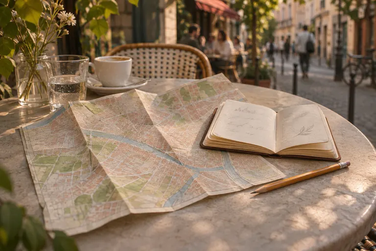
Researched on November 6, 2026 using the primary sources below. The city-day routine is editorial advice, not a tested itinerary or a claim of health or memory benefits. Official information and app behavior can change. Paper City Guide is made by emonster, the publisher of this journal. The cover is an AI-generated editorial image; it does not document the hypothetical itinerary.
- GO TOKYO: PDF Maps & GuidesTokyo’s official tourism guidehttps://www.gotokyo.org/en/plan/pdf-download/
- Google Maps Help: Download areas & navigate offlineGooglehttps://support.google.com/maps/answer/6291838?hl=en
- The attentional cost of receiving a cell phone notification (2015)Stothart, Mitchum & Yehnert · PubMed / DOI 10.1037/xhp0000100https://pubmed.ncbi.nlm.nih.gov/26121498/
- Travel JournalUS National Park Servicehttps://www.nps.gov/articles/travel-journal.htm